www.monumentaustralia.org
Ron CookPrint Page 
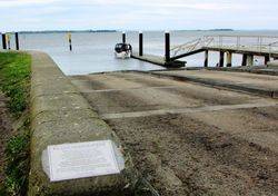
A boat ramp commemorates the efforts of Ron Cook to construct the boat ramp at Stony Point in the 1970's.
Location
| Address: | Stony Point Road, Stony Point, Crib Point , 3919 |
|---|---|
| State: | VIC |
| Area: | AUS |
| GPS Coordinates: | Lat: -38.374381 Long: 145.222312 Note: GPS Coordinates are approximate. |
Details
Dedication
| Approx. Monument Dedication Date: |
|---|
Front Inscription
Plaque :
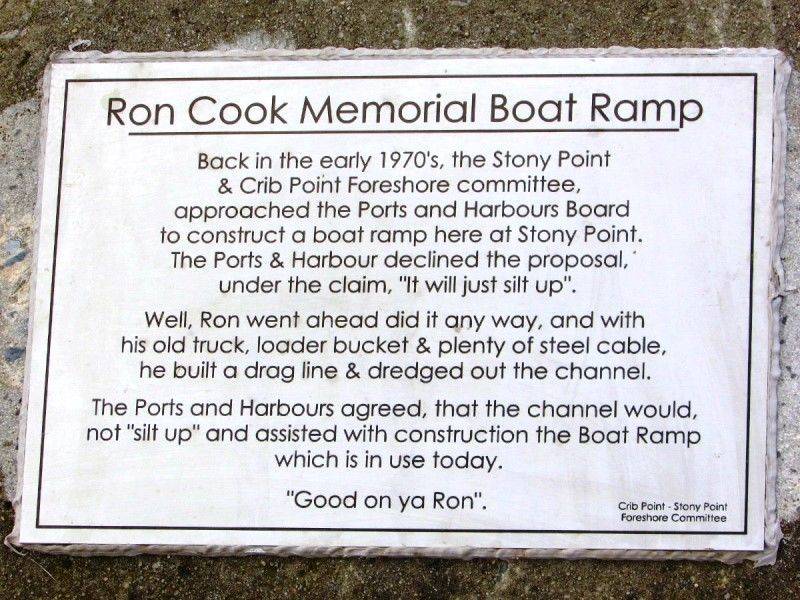
Ron Cook Memorial Boat Ramp
Back in the early 1970`s, the Stony Point & Crib Point Foreshore committee, approached the Ports and Harbours Board to construct a boat ramp here at Stony Point. The Ports & Harbour declined the proposal, under the claim, "It will just silt up".
Well, Ron went ahead and did it any way, and with his old truck, loader bucket & plenty of steel cable, he built a drag line & dredged out the channel.
The Ports & Harbours agreed, that the channel would not "silt up" and assisted with the construction the boat ramp which is in use today.
"Good on ya Ron"
Crib Point - Stony Point
Foreshore Committee
Left Side Inscription
Back Inscription
Right Side Inscription
Inscription in Proximity
Source: MAMonument details supplied by Monument Australia - www.monumentaustralia.org.au


